At a glance
Inmarsat, the satellite operator that still received hourly handshake signals from the aircraft’s data unit, later reconstructed a southern Indian Ocean corridor. On 24 March 2014 Malaysia’s prime minister, Najib Razak, announced that the flight had ended in that ocean with no survivors. The statement was a political and technical judgment from satellite analysis, not a photographed wreck.
Atlas Verification Checklist
0 / 4 verifiedCheck each criteria to confirm findings against the atlas verdict.
Malaysia Airlines Flight 370 · tagline
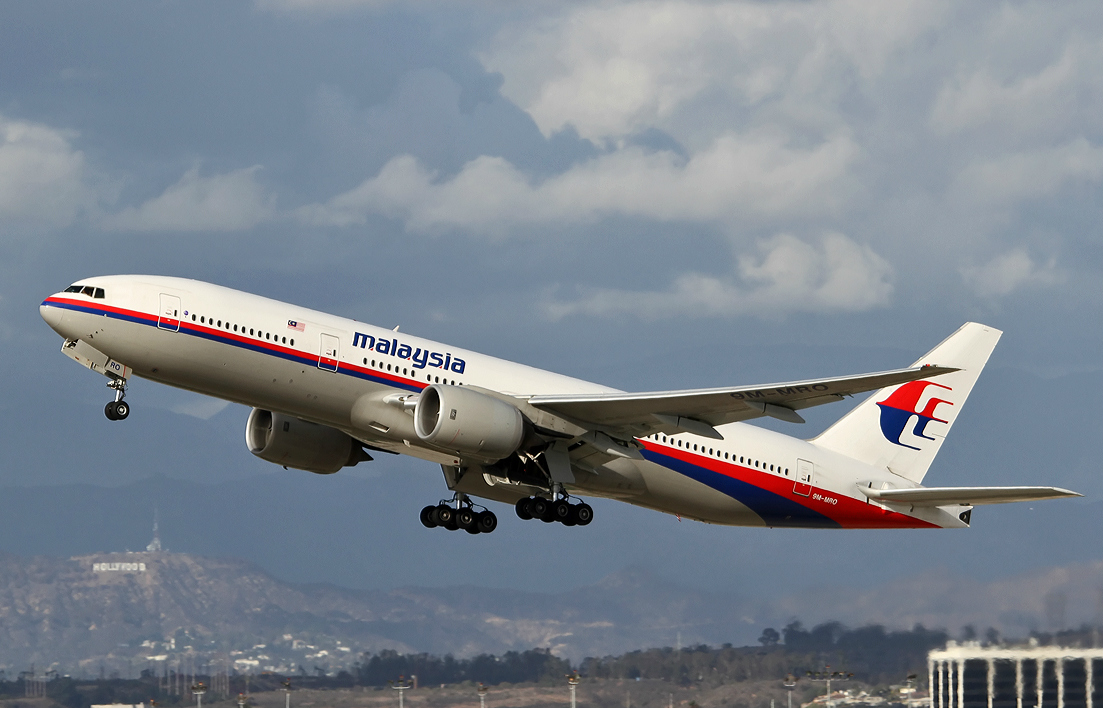
On 8 March 2014 Malaysia Airlines Flight 370 left Kuala Lumpur for Beijing and vanished; satellite handshakes and later Indian Ocean debris never produced a located wreck or a cause. Malaysia Airlines Flight 370, a Boeing 777-200ER registered 9M-MRO, left Kuala Lumpur International Airport at 00:41 MYT on 8 March 2014 for Beijing Capital. On board were 227 passengers and 12 crew.
Malaysia Airlines Flight 370 · Inmarsat, the satellite operator that still received hourly
Inmarsat, the satellite operator that still received hourly handshake signals from the aircraft’s data unit, later reconstructed a southern Indian Ocean corridor. On 24 March 2014 Malaysia’s prime minister, Najib Razak, announced that the flight had ended in that ocean with no survivors. The statement was a political and technical judgment from satellite analysis, not a photographed wreck.
Malaysia Airlines Flight 370 · A right flaperon found on Réunion in July 2015 was identifi
A right flaperon found on Réunion in July 2015 was identified as from 9M-MRO. Other fragments later appeared on western Indian Ocean shores. Malaysia’s Annex 13 safety investigation, published on 30 July 2018, could not determine who was at the controls after the turn or why the aircraft left the route. Ocean Infinity’s 2018 private search also failed to locate the wreck. The case remains unsolved.
Malaysia Airlines Flight 370 · paras 1
Civil secondary radar and radio place 9M-MRO on the planned route until shortly after 01:19 MYT. Malaysian military primary radar, released in reconstructed form, then shows a westward crossing of the peninsula and a later southbound leg. Those plots are the main reason official English speaks of a South China Sea corridor that became an Indian Ocean problem.
This is a reading check for the atlas, not personal advice, a live price, or a booking. It does not replace the full topic page.
What is the next question after this?
A right flaperon found on Réunion in July 2015 was identified as from 9M-MRO. Other fragments later appeared on western Indian Ocean shores. Malaysia’s Annex 13 safety investigation, published on 30 July 2018, could not determine who was at the controls after the turn or why the aircraft left the route. Ocean Infinity’s 2018 private search also failed to locate the wreck. The case remains unsolved.
Does this page rank people or nations?
This is a reading check for the atlas, not personal advice, a live price, or a booking. It does not replace the full topic page.
Where is the longer entry?
Civil secondary radar and radio place 9M-MRO on the planned route until shortly after 01:19 MYT. Malaysian military primary radar, released in reconstructed form, then shows a westward crossing of the peninsula and a later southbound leg. Those plots are the main reason official English speaks of a South China Sea corridor that became an Indian Ocean problem.
Next question: 1911 Mona Lisa theft · Open the topic: Malaysia Airlines Flight 370